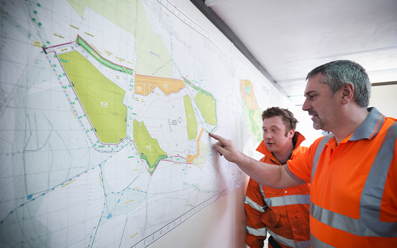
Geospatial Data Services
Challenges in geospatial data integration
Geospatial data is a combination of information about different parameters with a geographical indicator. Many modern businesses rely on geospatial data to deliver their products and services more efficiently. They use geographical information system (GIS) integration to process and analyse the geospatial data. You can collect this data from many sources, such as census data, satellite images, social media data, or cell phone data. And the process of collecting geospatial data from different sources and unifying them into a single database is geospatial data integration.
Need for geospatial data integration
But if geospatial data is available from multiple sources, what is the need for geospatial data integration? Firstly, spatial data integration offers a unified environment for data processing, modelling, and visualisation. Secondly, no single geospatial data source has information about every single variable. Any single database has limited utility to a business because of the limited information available.
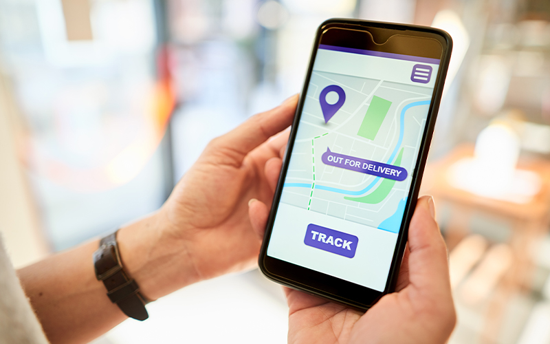
Integrating data from different sources allows businesses to access multiple variables to help make well-informed decisions. And with an integrated database, GIS implementation can provide businesses insights into different temporal–spatial instances, allowing them to be agile and strategise accordingly. Some instances where geospatial data integration can help include mapping, civic planning, risk assessment for insurance policies, and understanding people’s behavioural patterns.
Challenges in geospatial data integration
Spatial data integration, however, is easier said than done. Some integration challenges are common to other data types, while others are unique to geospatial data. The top geospatial data integration challenges are:
- Lack of standardisation: Many GIS specialists spend about 90% of their time cleaning the data before analysis. This is because of the lack of standardisation in storing geospatial data. For example, records of parameters such as time and address reflect the local standards or different GIS use different colour coding and icons for the same features. This lack of standardisation is one of the biggest challenges hampering geospatial data integration.
- Lacking institutional knowledge: Only about 5% of people in the data science and engineering fields can work with geospatial data, as GIS and geospatial data have traditionally been separate disciplines. As a result, bridging the skill gap necessary for spatial data integration is difficult, making the integration process even more challenging.
- Data quality: Similar to many other data-intensive fields, poor data quality and inconsistent data are huge obstacles to spatial data integration. Anything from a simple human error to a lack of expertise can contribute towards poorer quality data and hamper efforts for integration.
- Siloed GSI data: Each GIS system and the data within is highly siloed. Every country, state, or city has their GIS implementation. And with the varied qualities of these systems and the lack of integration between individual databases, it isn’t easy to visualise or compare data across geographical locations.
- File sizes and processing time: Right systems and infrastructure are critical for GIS implementation, similar to any data analytics application. And achieving an optimal balance between the amounts of data to process, time to answer the questions, and infrastructure costs are key challenges in GIS implementation, which can, in turn, hamper spatial data integration.
- Prohibitive costs: GIS infrastructure is not cheap, and, as a result, many businesses believe it to be out of their reach. In addition to the costly hardware and software cost of GIS implementation, acquiring expert personnel is also expensive. Such significant investment deters many smaller businesses from GIS implementation, reducing the urgent demand for geospatial data integration.
Evaluating some key analytical, operational, and organisational implications before data integration can help alleviate many of these challenges and facilitate a more effective integration strategy. Considerations such as spatial resolution, currency and temporal resolution, quality and accuracy, access methods, file formats and size, data model and scheme, and update frequency can help bring uniformity in geospatial data. This, in turn, can simplify the spatial data integration process.
For organisations on the digital transformation journey, agility is key in responding to a rapidly changing technology and business landscape. Now more than ever, it is crucial to deliver and exceed organisational expectations with a robust digital mindset backed by innovation. Enabling businesses to sense, learn, respond, and evolve like living organisms will be imperative for business excellence. A comprehensive yet modular suite of services is doing precisely that. Equipping organisations with intuitive decision-making automatically at scale, actionable insights based on real-time solutions, anytime/anywhere experience, and in-depth data visibility across functions leading to hyper-productivity, Live Enterprise is building connected organisations that are innovating collaboratively for the future.
How can Infosys BPM Help?
Infosys BPM Geospatial Data Services use state-of-the-art digital technology to address customers’ mapping needs.