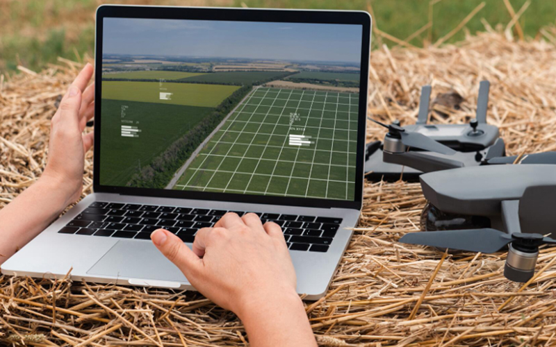
Tape measures and cameras have been the standard tools of roof measurement in the past, but they are increasingly being replaced by advanced aerial measurement technologies. But as the world focuses on digitisation, commercial and residential roofers are moving away from the imprecise, variable roof measurement methods towards GIS-based solutions like aerial roof measurements. These solutions leverage data from drones or satellite images, along with geospatial analytics services, for precise, quick, and easy estimates of roof measurements – like pitch and area – for different roofing jobs.
Aerial roof measurement report
As the name suggests, aerial roof measurement relies on a GIS-based aerial image database that records aerial photographs – along with satellite or drone data – of buildings (commercial and residential) in a particular region. This GIS-supported roof measurement technology enables roofers to remotely measure a building’s roof – including size, geometry, pitch, direction, and area. Over the last decade, roof contractors have successfully used GIS-based aerial roof measurements throughout roofing cycles for enhanced productivity, earnings, and profits. This has allowed them to offer more accurate repair estimates, be more efficient in material requests, and insert necessary equipment for better efficiency without compromising the safety of the contractors and their teams.
Benefits of using GIS aerial roof measurement technology
In addition to improving your efficiency as a roofer, aerial roof measurements can help you boost your productivity, become more cost-efficient, ensure your team’s safety, and enhance your responsiveness for higher customer satisfaction. Some of the major benefits that can help you scale your roofing business are:
- Roof measurement technology gives you accurate measures of the pitch and area of the roof, along with the scope of work and height of the building, all documented in a comprehensive roof report. As a result, you can deliver accurate estimates, quotes, and plans for material and labour quickly without having to physically visit the site or scale the roofs. This can also help you plan the necessary equipment before starting the job to avoid any unnecessary delays.
- • Remote roof measurements eliminate the need to scale steep roofs, risk the safety of your team, or procure expensive safety equipment even before you win the contract. Additionally, once you have won the contract, you can utilize your aerial roof report to understand the safety requirements for safeguarding your crew, allowing you to plan efficiently.
- Surveying neighbourhoods via drone imagery can help you be more efficient throughout the roofing lifecycle, be proactive in your marketing activities, and be a step ahead of your competition.
- Shearing aerial views and high-res images of your completed work can help you present beautiful proposals, allowing you to impress stakeholders and improve your chances of winning the contract.
- GIS-based aerial roof estimates are much faster, safer, and cheaper than traditional on-site measurements, resulting in a more efficient turnaround for your aerial roof report. This can help you prepare faster and more accurate quotes while being more responsive to your customers, eliminating the need for multiple site visits and reducing your costs.
With these benefits, aerial roof measurements can help you leverage geospatial analytics services to stir up your game by producing faster and more accurate quotes, minimising your costs, and ensuring the safety of your crew. As a result, you can quickly scale your business via increased productivity and better responsiveness to customers.
Lowering risks associated with roofing measurements for insurance claims prior to repairs or storm damage
Satellite and aerial roof measurements technology can be accurate with measurement reports obtained from accurate roof sketches. Leveraging the benefits of GIS-based aerial roof measurement technology to scale your roofing business hinges on selecting the right geospatial analytics service provider and aerial roof GIS measurement tool to demarcate the roof geometry. With the development of high-resolution drone photography, aerial roof measurement services, evolving GIS solutions, and up-to-date roof images, we can inspect the prospective roof with utmost care for any obstructions. Roofers can confidently measure roof-pitch, height, width and area from high-resolution oblique aerial images, ensuring the accuracy of their roof reports. Exact pitch calculations always involve analysing various facets of photos (East, West, North, South).
Along with high-precision Pictometry aerial survey technique to capture oblique image libraries, the measurements can also be taken from similar photos obtained from various other imagery platforms such as Google Earth, Bing maps that are considered accurate to deliver such map-based services.
*For organisations on the digital transformation journey, agility is key in responding to a rapidly changing technology and business landscape. Now more than ever, it is crucial to deliver and exceed organisational expectations with a robust digital mindset backed by innovation. Enabling businesses to sense, learn, respond, and evolve like living organisms will be imperative for business excellence. A comprehensive yet modular suite of services is doing precisely that. Equipping organisations with intuitive decision-making automatically at scale, actionable insights based on real-time solutions, anytime/anywhere experience, and in-depth data visibility across functions leading to hyper-productivity, Live Enterprise is building connected organisations that are innovating collaboratively for the future.
How can Infosys BPM help with aerial roof measurement report?
Infosys BPM Geospatial Data Services can help you leverage next-gen technology to address the mapping needs of your customers and help you stay efficient and productive throughout the roofing cycle. Our service offerings, like base mapping and cartography, spatial data analysis, drone data processing, and data-centric annotation, can help you accurately measure the pitch and area of roofs remotely. You can leverage this geospatial analytics service to prepare accurate quotes and winning proposals to scale your business while improving customer relationships, productivity, and profitability.


