Geospatial Data Services
Introduction to GIS mapping
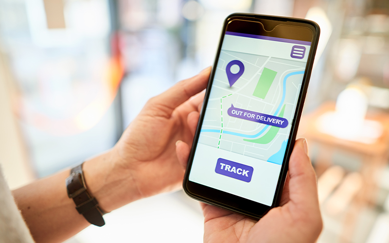
From mapping quantities to finding locations and looking through large water bodies, GIS mapping has you covered in your area of interest (AOI). The system uses the power of satellites to achieve the desired result, which is far more effective than a traditional 2D or 3D map.
What is GIS mapping?
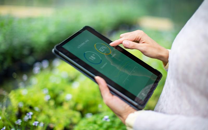
Geographical information system (GIS) mapping represents quantifiable data visually, interactively, and dynamically. It combines the strength of a map with the strength of a database to let users produce, manage, and analyse data, especially data about locations.
GIS mapping transforms real-world geospatial data into maps, colours, and shapes. This helps businesses make informed and fast decisions. The system ties a geospatial point with latitude and longitude with a specific data element. The spatial analysis then measures the distance between these points to find the relationship between them and understand the geography/terrain.
Types of GIS mapping
The GIS mapping technique you choose depends on the application, such as crops or population density.
- Heat maps: Heat maps are helpful when the data you want to analyse is extremely dense. In this case, the heat signature is generally helpful. For example, a warmer section of the map could represent an area with high population density. The map provides a rough estimation of density distribution and uses the standard ‘red’ for dense and ‘blue’ for white.
- Bubble maps: Bubble maps use different GIS points to specify bubble positions and represent complex numerical data. Compared with rows and columns of data, big or small bubbles on a map give you a quick understanding and saves time and effort.
- Cluster maps: Cluster maps combine different attributes such as colour, shape, size, and labels into a single GIS cluster for convenience. If there are too many data points to analyse, a cluster map packs all the data together into a single representation.
- Quantity maps: Quantity maps use different shades of the same colour to represent the quantity of a certain attribute on a map. This method helps analyse detailed data spread over a large area and shows a clear distinction of attributes.
- Category maps: In this technique, the system assigns a specific colour to each category you want to monitor. This makes it easy to understand which portion of the map corresponds to which data segment. The result is a map with different colours, each representing a distinct category. For example, a crop density map showing different farm produce could be a category map.
GIS use cases
A GIS map is usually in layers and comprises of water bodies map, elevation map, vegetation map, and infrastructure map. Here are some of the use cases of GIS mapping.
- Public services: Emergency response teams such as firefighters use GIS mapping for quick coordination and strategic planning. A perfect example is a massive wildfire in Chile in 2017, where the team used GIS to locate equipment and gather real-time information to deal with the emergency.
- Disease mapping: Geospatial data helps map regions or pockets in a densely populated area where a certain disease is spreading fast. For example, interactive mapping can provide sufficient data to quarantine areas where contagious diseases are spreading fast.
- Water and electric utilities: GIS mapping helps municipalities track and monitor water and electric utilities and fight corruption and any damage to the infrastructure. For example, the system helped fight the illegal tapping of electricity in Nigeria.
- Construction planning and safety assessment: Mapping landscapes through GIS can save peoples’ lives from high-impact natural disasters and economic difficulties. In an example from the Kivu region in the Democratic Republic of Congo, GIS mapping helped analyse landslide risk.
- Vegetation management: GIS is a powerful tool for ecology research and vegetation maintenance. The shoreline of Lake Gaston had a weed infestation, and the volunteer team needed the best way to fight the invasive species, which was provided by GIS.
For organisations on the digital transformation journey, agility is key in responding to a rapidly changing technology and business landscape. Now more than ever, it is crucial to deliver and exceed organisational expectations with a robust digital mindset backed by innovation. Enabling businesses to sense, learn, respond, and evolve like living organisms will be imperative for business excellence. A comprehensive yet modular suite of services is doing precisely that. Equipping organisations with intuitive decision-making automatically at scale, actionable insights based on real-time solutions, anytime/anywhere experience, and in-depth data visibility across functions leading to hyper-productivity, Live Enterprise is building connected organisations that are innovating collaboratively for the future.
How can Infosys BPM help?
With extensive domain expertise and a highly skilled global team, Infosys BPM adds value to your business in the following ways:
- GIS consulting
- Application support and maintenance
- Spatial data analysis and management
- Project management
Read more about the geospatial data services at Infosys BPM.