Geographical Information Systems (GIS) systems play a critical role, from planning and designing new cities to redeveloping and equipping heritage cities with modern technology.
Today, around 55% of the world’s population lives in urban areas whose economic and environmental success depends on how the cities manage their resources and contingencies.
This article explains how GIS technology is helping smart cities grow into economic powerhouses with efficient resource and environment management.
Why is GIS technology important for smart cities?
While smaller GIS systems manage certain aspects such as traffic, larger GIS technologies integrate and manage diverse services through a central hub –
Smart city development lifecycle platform
GIS for smart cities acts as a hub of IT infrastructure that monitors and manages a new city under development. For example, it identifies sites for installing utilities such as drainage and water pipelines and electricity and communication cables.
The GIS system, along with the Internet of Things (IoT) technology, monitors the health of all systems and triggers auto alerts when there is a maintenance or repair requirement.
Site selection and acquisition
Government agencies and private companies use GIS as a bird’s eye view of the city to select the right piece of land, set legal boundaries, and determine its right value. Businesses can make better decisions for new real estate and public infrastructure development using the high-end visualisation tools within GIS.
Detailed reports from GIS systems make the interaction and approval process with government agencies faster with the necessary compliances in place.
Planning, designing, and visualising
By integrating GIS with design tools such as Building Information Modelling (BIM) and Computer Aided Design (CAD), businesses do better analytics and cost estimates for infrastructure.
Construction of new infrastructure can be easy and efficient by mapping millions of miles of underground and overhead cables and pipelines in a geo-design framework.
Marketing, sales, and financial management
Infrastructure developers can use GIS to build 3D visual designs and marketing reports and showcase the economic potential to win new business. Residents or businesses who wish to sell their properties can use GIS to get a visual representation and an accurate valuation for the buyer.
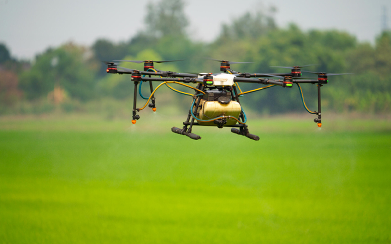
Remote sensing for a better quality of living
Mapping drones use remote sensing technology to help improve the living conditions on the ground. For example, remote sensing can detect the cause of disease spread in a given area and instruct the healthcare system to take the necessary actions.
GIS systems can further identify disease clusters by using information from nearby hospitals and isolating the point of infection like water streams or an airborne virus.
Track water sources
Overground and underground water sources within a city are the lifeline of its residents. Without using an invasive method, GIS systems and remote sensors monitor water flow throughout the city. It detects if there is an impending flood or a drought due to construction activity.
Find and grow local businesses
GIS systems help local businesses come together and be visible to potential clients increasing the economic prosperity of a city. Geospatial information systems with environmental, demographic, topographic and public utility data, making them powerful decision-making location tools for industries. Various GIS based applications with location data intelligence helps companies, businesses, consumers for informed decisions. Google Maps is one such geospatial system that uses a cluster of satellites to constantly update not only the road networks, public utility, demography but also information about local businesses.
Smart city GIS case studies
While the global smart cities market is worth $656.8 bn spanning multiple cities in developed and developing nations, here are a few case studies worth noting –
Transportation GIS, London
When the London transportation system had to accommodate a much larger number of commuters during the 2012 Olympics, the city used the transportation information platform. It gathered data from cameras, sensors, and live location updates for seamless traffic management.
3D city GIS, Shanghai
The 3D geospatial model of Shanghai presents the city in a virtual model where the agencies can even map underground and indoor facilities. It won the World Smart City award in 2020 for exceptional urban planning, cultural relic preservation, administration, fire control, weather forecasting, and utility systems management.
Rotterdam’s port maps
The port of Rotterdam is responsible for over 130,000 vessels and over 440 million tons of cargo. Managing such an expansive port is difficult. The city embraced the idea of a complete geospatial platform to manage Rotterdam’s port stretching over 26 miles. The platform connects all its systems to improve the efficiency of overall management. This solution helps with better environmental impact management, safety, planning, and incident response.
*For organisations on the digital transformation journey, agility is key in responding to a rapidly changing technology and business landscape. Now more than ever, it is crucial to deliver and exceed organisational expectations with a robust digital mindset backed by innovation. Enabling businesses to sense, learn, respond, and evolve like living organisms will be imperative for business excellence. A comprehensive yet modular suite of services is doing precisely that. Equipping organisations with intuitive decision-making automatically at scale, actionable insights based on real-time solutions, anytime/anywhere experience, and in-depth data visibility across functions leading to hyper-productivity, Live Enterprise is building connected organisations that are innovating collaboratively for the future.
How can Infosys BPM help?
The geospatial data services by Infosys BPM are solving problems for global clients in oil & gas, utilities, mining, telecom, and transport services.
Our GIS team is made up of experienced domain experts with spatial technological background to manage customer asset value chain, including mapping activities, data creation and migration, application development, enterprise GIS upgrade/migration, modelling, and analytics. We have a proven GIS Centre of Excellence, delivering professional services to maintain large GIS systems and data sets, helping our clients reduce their cost of operations by 40% and improve data quality with 99% accuracy in asset operations.
Read more about the geographic information system services at Infosys BPM.