Geospatial Data Services
How does geospatial data enable sustainability?
The health and well-being of human beings depend directly on environmental health. Exponential industrial growth coupled with excessive energy usage has taken its toll on the environment. The challenge now is to prevent further degradation and sustain, if not improve, the existing conditions.
This is the reason that sustainability has become a prime focus area for a nation’s government and businesses alike. While businesses can follow green practices to reduce their carbon footprint, governments can leverage geospatial data to foster sustainable growth.
To optimize resources, policymakers need data related to land cover, natural resources, and population density, they can make decisions about land usage, land cover, infrastructure management, and resource management.
Data on all the above parameters or geospatial data is required for sustainable planning. Geospatial data serves as a nation's "digital currency" for making evidence-based decision for the policymakers. It is a crucial element of a country's infrastructure and knowledge economy, providing a blueprint of the nation's geography and the means to integrate various government services. This integration contributes to economic growth, national security, sustainable and equitable social development, environmental sustainability, and national prosperity. Every country must utilize its national geospatial information services to enable informed decision-making and national development. Geospatial data can inform a wide range of environmental initiatives, from resource conservation to renewable energy development.
In this blog, we will explore some of the ways that geospatial data enables sustainability and discuss how this data can be used to drive positive change.
Resource Conservation
One of the key benefits of geospatial data is that it allows us to monitor and track natural resources in real-time. This is particularly important when it comes to conservation efforts, as it enables us to identify areas that are at risk of overuse or degradation.
For example, geospatial data can be used to track water usage in agricultural regions, helping farmers to use water more efficiently and avoid overuse. Similarly, geospatial data can be used to monitor deforestation and track changes in wildlife habitats, providing valuable information for conservation efforts.
Renewable Energy Development
Geospatial data is also a critical tool in the development of renewable energy sources. By mapping wind and solar resources, for example, developers can identify the most promising locations for new energy projects to maximize the efficiency and effectiveness of renewable energy infrastructure, while minimizing its impact on the surrounding environment.
Geospatial data can also be used to optimize the distribution of renewable energy resources, such as wind turbines and solar panels. By analyzing factors such as wind patterns and sun exposure, developers can identify the best locations for these resources, helping to ensure that they are utilized to their fullest potential.
Climate Change Mitigation
Geospatial data is an important tool in the fight against climate change, as it enables us to monitor changes in the environment over time. This data can be used to track parameters such as changes in temperature, sea level, and precipitation patterns, providing valuable information for climate change research and planning.
For example, geospatial data can be used to monitor the melting of polar ice caps, providing insight into the rate at which sea levels are rising. Similarly, data on the distribution and migration patterns of wildlife can help researchers understand how climate change is affecting different ecosystems and species.
Disaster Response
Geospatial data is also critical in disaster response efforts, as it enables responders to quickly assess the damage caused by natural disasters and identify areas in need of assistance. By mapping affected areas and tracking changes over time, responders can identify the most urgent needs and allocate resources more effectively.
For example, geospatial data can be used to map the extent of flooding after a major storm, helping responders to identify areas that are at risk of further damage or in need of evacuation. Similarly, data on the location and intensity of wildfires can help responders to develop strategies for containing and extinguishing these fires.
Urban Planning
Finally, geospatial data can be used to promote sustainability in urban planning, helping to create more efficient and sustainable cities. By mapping components like transportation networks, green spaces and building, energy usage, planners can identify areas where improvements can be made and develop strategies for reducing resource use and carbon emissions.
For example, geospatial data can be used to identify areas where new public transportation infrastructure is needed, helping to reduce car usage and improve air quality. Similarly, data on building energy usage can be used to identify areas where energy efficiency improvements are needed, helping to reduce carbon emissions and lower energy costs.
Various smart technologies have come to the forefront to provide the required intelligent location data:
UAVs and Drone
UAVs, or drones, have become a popular tool for sustainability efforts due to their ability to collect data in real-time, cover large areas quickly, and operate in dangerous or hard-to-reach locations. UAVs enable sustainability through environmental monitoring, precision agriculture, wildlife conservation, disaster response, and infrastructure inspection.
Satellite Sensors
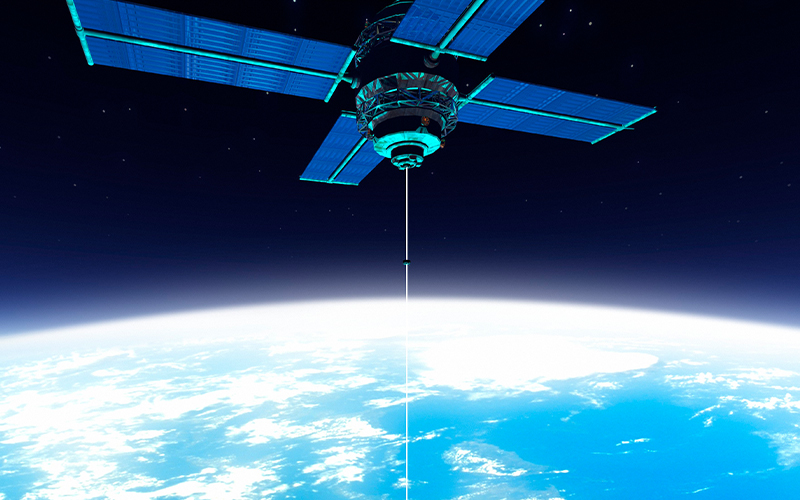
Satellite sensors play a pivotal role in enabling sustainability by providing essential data for environmental monitoring, resource management, and climate change analysis. They aid in disaster response and recovery, offer insights for informed decision-making, and promote a more sustainable and resilient future for our planet.
IOT and GIS
Connected sensors from assets and network, companies are processing data at higher frequency with a location component in it. Location technology interconnects information models, and behaviors with map context, creating GIS based digital representations of environments, assets, networks, and cities for sustainable management. GIS and IoT are connecting systems & data that enables transformation of many digital workflows. Integration of these technologies creates nervous system for real-time integrated digital twins.
3D-GIS, AR, VR
3D mapping of built environments to provide 360° access from anywhere in the world showing locations, assets, underground utilities, assets, terrain delivers a sustainable background for administration micro-management of resources. Such AR-VR immersive visualization delivers invisible characters of spatial elements that displays historical data or collected real-time data.
LocAI
In recent years, GIS projects have witnessed the application of rapidly evolving AI models. LocAI has emerged as a powerful tool for sustainable planning of urban infrastructure development and monitoring the changes that occur in a particular area over time.
How Geospatial Data Enables Global Sustainable Policies
The prime objective of policymakers for sustainable planning is to build processes that facilitate a balanced level of use of resources. Data modeling helps predict the positive and negative environmental outcomes of various activities. Geospatial data provides quantified information that helps make location-based decisions that enhance economic efficiency, reduce contamination, and optimize consumption.
Overall, geospatial data is a critical tool used by policymakers in promoting sustainability across a wide range of environmental initiatives. By enabling us to understand the physical world in more detail, this data can help us to conserve resources, develop renewable energy sources, mitigate the impacts of climate change, respond to natural disasters, and create more
The environment is a global responsibility and geospatial data helps implement sustainable policies across borders. Collaborative use of geospatial data helps bring people together to foster a more sustainable planet.
* For organizations on the digital transformation journey, agility is key in responding to a rapidly changing technology and business landscape. Now more than ever, it is crucial to deliver and exceed on organizational expectations with a robust digital mindset backed by innovation. Enabling businesses to sense, learn, respond, and evolve like a living organism, will be imperative for business excellence going forward. A comprehensive, yet modular suite of services is doing exactly that. Equipping organizations with intuitive decision-making automatically at scale, actionable insights based on real-time solutions, anytime/anywhere experience, and in-depth data visibility across functions leading to hyper-productivity, Live Enterprise is building connected organizations that are innovating collaboratively for the future.


