Geospatial Data Services
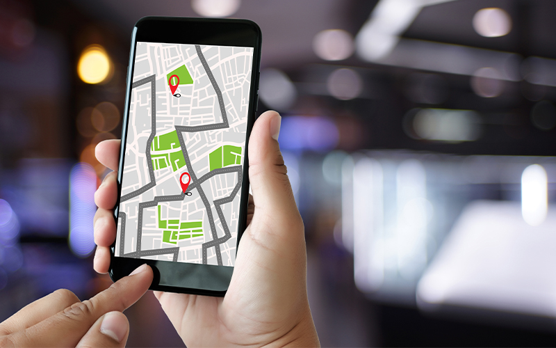
GIS mapping and location-based dashboards for businesses
A complete Geographic Information System (GIS) includes software and hardware that connect with diverse systems to collect and analyse spatial data, identify trends, and predict outcomes.
GIS uses data from various sources such as aerial imagery, GPS measurements, topographic data, and surveys to create databases, which can be visualised through dashboards. Analysing spatial data to identify and predict trends can be a major advantage for any business.
Land inspections, census, crop monitoring, etc., are key applications where geospatial mapping helps build location-based dashboards for field workers and decision makers. The Government Census Agencies uses GIS to improve the quality of censuses and surveys conducted.
This article explains the importance of GIS dashboards in connecting government field workers doing censuses, inspections, and crop monitoring.
How do government departments use GIS mapping?
Government departments capture, store, analyse, and visualise location-based GIS data to identify patterns, provide context to complex problems, and understand relationships between various factors that affect an outcome. Here is a list of applications of location-based dashboards in the context of administration.
Inspections and censuses
Organizations make use of geocoded addresses, aerial imagery, census tract boundaries, population density maps etc., to perform GIS analysis which is illustrated through location-based dashboards. This allows authorities to identify focus areas for censuses, optimize asset assignment, and closely and precisely monitor progress. The spatial context enhances decision making, allowing for targeted interventions and accurate analysis of trends within specific regions.
City administration
GIS mapping dashboards utilizes aerial imagery, topographic data, demographics, cadastral database, land use land cover, which help city administrators make executive decisions to influence policies about resource management, emergency planning, urban planning, utility management etc.
Building inspection
GIS dashboards deliver decision support insights from spatial analysis using map layers derived from drone data, LiDAR point cloud, CAD drawings and land survey inspection data, BIM data, and environmental data that is used in the planning and management of construction sites, guaranteeing adherence to safety regulations, and building codes. Builders and government authorities gain insights into environmental implications and potential risks prior to project commencement, fostering proactive mitigation strategies for hazards and ensuring a smoother construction process.
Planning and zoning
Government agencies that do land surveys make use of topographic and aerial data, parcel data, 3D modelling and visualization, and census and demographic data for planning and to identify potential construction sites, create zoning maps, and ensure compliance with zoning regulations visualised on location-based dashboards.
Public health surveys
Agencies can spatially analyse census and demographics, geocoded health datasets, and vector-borne disease abnormalities; this allows them to perform geospatial modelling for health disparities and other associated health hazards in delineated areas. Further, generated GIS dashboards help in visualizing health information and aid in planning interventions for prevention and containment of health hazards in the containment areas.
Inspect crime rates
Investigation agencies use GIS dashboards that utilizes crime incident data, police patrol routes, CCTV camera locations, and hotspot analysis to isolate areas with high crime rates and code of conduct violations and allocate resources accordingly. This allows them to identify the root cause of violations easily and ensure law enforcement for better public safety.
Public works and engineering
Analysing elevation data, GPR, LiDAR, aerial imagery, CAD drawings, and BIM models through GIS techniques helps determine optimal topography for public infrastructures like roads, bridges, electric conductor lines, and water and wastewater facilities.
Agriculture applications
Data gathered from field machinery, drones, land parcels, and soil moisture are analysed and visualized on GIS dashboards, aiding agriculturists in accurate crop prediction, livestock tracking and precision farming.
Crop mapping
Government agencies make use of multispectral and hyperspectral imagery, NDVI classification, field surveys, and ground truthing data to analyse crop lifecycle and ensure crop health monitoring that enables effective crop production. It facilitates farmers and policy makers in assessing crop health, identifying areas needing attention, and optimizing irrigation. By comparing the crop production on different time periods showcased on GIS dashboards, agencies can determine what factors affects the growth of crops.
Precision agriculture
This is a cutting-edge agriculture approach that utilizes GIS datasets, soil health indicators, weather data, historic data of farm outputs to enhance crop yield. Gathering and examining map data concerning elements as stated above, agriculture agencies can utilize GIS dashboards to arrive at well-informed choices regarding their plans, fertilization strategies, and irrigation methodology.
Livestock monitoring
GIS dashboards revolutionize livestock management by integrating real-time data from trackers, sensors, aerial imagery, geofencing, and GPS measurements. This technology facilitates monitoring of animal health, their location, and their behaviour. Farmers can gain insights to maximize feeding, healthcare, and breeding decisions to ensure efficient asset utilization and thus helps in improving animal welfare.
Pest control
Deep learning algorithms working with geospatial datasets can quickly identify unhealthy spots on land with pest infestation, weeds, and other crop diseases. This approach driven by geospatial data enhances precision in targeting intervention and safeguarding agricultural yields.
Irrigation control
Lack of location-based data may lead to prolonged droughts or floods, particularly in low-lying regions, impacting crops. Agriculture agencies can use GIS dashboards to inform farmers on water stress and drainage patterns, and thus effectively aid in irrigation practices.
Nutrient distribution
GIS dashboards display soil nutrient distribution data by analysing aerial images, soil moisture and soil health data, aiding farmers in identifying nutrient-rich and deficient areas. It can guide targeted delivery of external nutrients like fertilizers, enhancing crop yield while minimizing environmental impact.
*For organisations on the digital transformation journey, agility is key in responding to a rapidly changing technology and business landscape. Now more than ever, it is crucial to deliver and exceed organisational expectations with a robust digital mindset backed by innovation. Enabling businesses to sense, learn, respond, and evolve like living organisms will be imperative for business excellence. A comprehensive yet modular suite of services is doing precisely that. Equipping organisations with intuitive decision-making automatically at scale, actionable insights based on real-time solutions, anytime/anywhere experience, and in-depth data visibility across functions leading to hyper-productivity, Live Enterprise is building connected organisations that are innovating collaboratively for the future.
How can Infosys BPM help?
The geospatial data services offered by Infosys BPM help in mapping, collecting, storing, processing, integrating, managing, analysing, and distributing GIS data through dashboards for inspections, censuses, and crop monitoring.
Read more about the geospatial analytics service at Infosys BPM.