John Snow, A London-based physician, first used geospatial health related data to analyze and conclude that cholera is not an airborne disease. After this groundbreaking discovery, considering geographical aspects in research and other scientific fields became a norm.
Before the advent of geospatial data services, healthcare was limited to traditional data collection and analysis. Medical professionals relied on manual processes and static data sources to make decisions regarding public health, patient care, and resource allocation.
In the recent events following Covid-19, we saw the vast potential of geospatial analysis of public health services. Geospatial intelligence helped track the spread of the virus, identify high-risk areas, and guide decisions for interventions such as vaccine distribution and containment strategies. The ability to integrate real-time geospatial data and AI/ML model with healthcare information systems has become essential for effective emergency response and management.
Geospatial analysis has become immensely relevant in today's healthcare landscape. Common people now demand personalized healthcare solutions. They expect healthcare providers to leverage technology to deliver targeted interventions and tailored services. Geospatial data services fulfil these expectations by providing real-time insights and enabling healthcare organizations to address community health needs effectively.
Over time, the variables in geospatial health data analysis have increased with our population. Although geospatial services now play a pivotal role in understanding patterns, predicting outbreaks, and improving overall healthcare outcomes, it is becoming difficult to analyse and predict the actual outcomes due to the complexity of data integration and interoperability. We require an AI-driven data analysis and management system with seamless integration of geospatial data into healthcare, enabling comprehensive insights. The automation solution ensures effortless data incorporation, optimizing decision-making and enhancing the existing healthcare infrastructure.
Geospatial analysis for public health
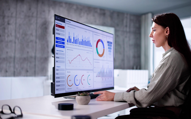
Location data with AI technology is an invaluable asset for public health. It is a groundbreaking combination that aids health authorities in tracking, predicting, and responding to disease outbreaks with precision. Geospatial analysis is paramount in public health because it provides valuable insights into the spatial distribution of diseases, health resources, and social determinants of health. Analyzing vast datasets on population movements, healthcare facilities, and outbreak patterns, it enhances the ability to track, predict, and respond to health threats effectively. Real-time GIS monitoring empowers health authorities to identify high-risk areas, allocate resources efficiently, and implement targeted interventions, ultimately saving lives and reducing the spread of infectious diseases.
How do GIS mapping services improve healthcare?
From the health mapping perspective, the utilization of geospatial enhancements yields various benefits to improve healthcare. By harnessing sophisticated spatial analysis and data visualization techniques, GIS empowers healthcare organizations to make informed decisions, optimize resource allocation, and deliver personalized care. Leveraging real-time geospatial insights with AI based models enables precise and timely interventions, reducing human errors, effectively mitigating health risks, ensuring equitable access to medical services, and ultimately fostering better health outcomes for individuals and communities alike.
Drone-based location intelligence for pandemics
According to published papers on remote-sensing infrared thermography (IRT), a technique used for detecting thermal anomalies in different medical conditions, GIS mapping can also be adapted for assessing the impact of COVID-19. Integrating IRT cameras into drones, we can identify individuals with elevated temperatures, within containment and non-containment zones for efficient monitoring.
Population health GIS assessments
Using demographic, socioeconomic, and lifestyle data, a more complete observation of a community can be performed. This helps us understand health disparities, analyze public health trends, and prepare for future needs. GIS based spatial analysis helps decipher hot zones for allocating resources for the greatest impact, understand health interventions, and serve communities and prepare for their needs. Location and geospatial analysis assist residents with community's nearby health services, and authentic information. Smart maps can assist communities with available resources parks, fresh-food markets, health insurers, etc.
Efficient emergency response using Geospatial mapping
Delays make a difference between life and death. GIS powered AI based healthcare solutions uses AI algorithms to analyze vast amounts of geospatial data sources that helps in identifying patterns, detect changes and thus assists medical professionals react faster against natural disasters or disease outbreaks related to specific locations. It supports in the timely allocation of resources with faster treatment decisions, thus saving lives.
Neighborhood health and facilities GIS management
Geospatial studies can help plan for future healthcare amenities based on patient needs, mobility, and at-risk populations. From mobile nursing services to outpatient clinics, proximity analysis of location data and demographic trends helps define zones for such development. Indoor GIS optimizes space planning, facility management, and navigation within a healthcare facility.
GIS improving healthcare resource efficiency
GIS delivers a centralized information portal for sharing location-based environmental health information that supports investigations to improve resource allocation and in turn monitor their performance. It helps in bringing a balance between environmental compliance and organizational strategies to mobilize health forces and deliver services to communities afflicted by environmental threats. Geospatial mapping with constant AI based surveillance assists in reducing harmful environmental impacts and helps population with health disparities. This location-based Geospatial AI is effective in disaster response management to assess the impact of natural calamities and monitor relief measures in major hot spot zones.
What do businesses need?
Before geospatial analysis became commonplace, healthcare outcomes were evaluated using traditional data collection and analysis methods. Implementing and maintaining the necessary technology infrastructure for geospatial analysis with AI-based algorithms can be cost-intensive and in-turn reduce burnout among healthcare workers. The old way often relied on manual processes and static data sources, had several limitations:
- Limited insights
- Time-consuming and inefficient method
- Inadequate resource allocation
- Data integration complexity
- Skill gap
- Anecdote-driven planning
Geospatial data and smart maps with deep learning platforms allows to connect health and health care to societal needs, address disparities in accessibility, inform and educate patients. GIS with location accessibility through facility siting and e-health amenities supports health service networking through identification of new and essential services as well as existing medical treatments.
* For organisations on the digital transformation journey, agility is key in responding to a rapidly changing technology and business landscape. Now more than ever, it is crucial to deliver and exceed organisational expectations with a robust digital mindset backed by innovation. Enabling businesses to sense, learn, respond, and evolve like living organisms will be imperative for business excellence. A comprehensive yet modular suite of services is doing precisely that. Equipping organisations with intuitive decision-making automatically at scale, actionable insights based on real-time solutions, anytime/anywhere experience, and in-depth data visibility across functions leading to hyper-productivity, Live Enterprise is building connected organisations that are innovating collaboratively for the future.
How can Infosys BPM help?
At Infosys BPM, we provide services that offer comprehensive GIS deployment at public health organizations, helping them unlock the full potential of geospatial analysis. Our geospatial services cater to the unique challenges businesses face while facilitating seamless data integration with existing healthcare systems.