In January 2025, the Palisades and Eaton wildfires raged through Los Angeles, destroying tens of thousands of acres and thousands of homes, making it one of the most devastating of all wildfires. The situation on the ground was chaotic – the flames were fast-moving, the smoke was thick, and the roads were too dangerous for anyone to physically go and assess the situation.
This is where geospatial intelligence stepped in.
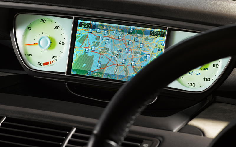
Satellites were constantly monitoring the smoke plumes in real-time, giving authorities a bird’s eye view of the situation. They delivered actionable information that helped officials and responders know which neighborhoods were destroyed and which roads were blocked, enabling them to act decisively while the event was still unfolding.
Wildfires are just one arena where geospatial intelligence has moved from useful technology to life-saving infrastructure.
Spatial data describes locations in the physical world. Geospatial intelligence takes spatial data and turns it into decisions. It is changing how businesses interact with the physical world, shifting decision-making from reactive to predictive. No longer constrained to static maps, this AI-powered technology fuses satellite imagery, real-time sensor data, and advanced analytics to create constantly updated "living world models". The implications are significant across industries. Let us examine a few areas where it is already making a difference.
Transportation
Geospatial mapping services help transportation companies leverage data-driven insights to enable efficient, smart, and green solutions for urban mobility. This technology powers dynamic traffic signal control and route recommendation systems, enabling drivers to avoid heavy congestion and accident sites to keep traffic moving smoothly. Historical data that is available in the case of geospatial analytics helps predict rush hour congestion and gauge the stress that could affect infrastructure based on the traffic volume and weight data.
Crime Prevention
Crime prevention is now becoming more data-driven, proactive, and predictive. Geospatial intelligence helps the police track the places where crime happens most frequently and the times at which most of these crimes are committed. This enables better patrolling at these specific locations and also better emergency response. During large public events, spatial analytics can help in monitoring crowd density and identifying potential security threats before situations get out of control.
Urban and community planning
Urban planning is all about planning spaces that work for people. Geospatial data helps planners understand and examine the current layout and build-up of an area. Geographic Information Systems (GIS) information services help analyse community needs and design smarter development. Long-term planning of urban areas relies on projecting how a community will grow in the years to come. Using geospatial data and intelligence, planners can visualise housing needs, population growth, and infrastructure capacity, thereby gaining valuable insights into how decisions made today could impact the future of communities. It also considers flood zones, wildfire risks, storms, landslides, and demographic data to identify at-risk populations and plan accordingly.
Parenting apps
The safety of children is of utmost importance for every parent. Parental apps leverage geospatial intelligence to track a child’s real-time movements via their mobile GPS coordinates. These apps enable parents to use real-time tracking to see where their children are located and be assured of their safety and well-being. Geo-fencing is a key feature that allows parents to draw digital boundaries around safe locations like homes, schools, and tutoring or hobby centers. If a child crosses these geo-fenced areas, the parent receives an instant alert.
The Future
Geospatial intelligence is not just about maps. It is about building a living, real-time picture of the world around us. Cameras, sensors, robotics, machine learning, encryption — these technologies are converging fast, turning location data into something far more powerful: foresight. As this field matures, location intelligence will shift from being a useful tool to essential infrastructure. It will form the backbone of how cities stay safe, how threats get anticipated, and how people move through the world with greater confidence.
How Infosys BPM can help
Infosys BPM Geospatial data services deliver GIS and geospatial data services that help organisations solve complex mapping and location intelligence challenges. Infosys BPM brings over two decades of global experience to the geospatial space, serving industries including utilities, telecom, oil & gas, mining, and transport. From mapping and data processing to analytics, integration, and spatial data management, the company offers end-to-end GIS capabilities that are project-ready from day one. This means clients get practical, on-the-ground support for challenges ranging from provisioning and field operations to outage management, disaster response, and data quality.