


Urbanisation is one of the defining trends of the 21st century, and cities continue growing, adding complex challenges for urban administrators. According to the United Nations’(UN) ‘World Urbanization Prospects 2025’ report, 45% of the world’s population now lives in cities. Furthermore, the report states that cities are expected to account for two-thirds of the world’s projected population growth by 2050. Therein lies the challenge. The cities must accommodate the growing population while providing them with basic amenities and essential services to support social and economic development. Without proper planning, urban areas face mounting pressures in infrastructure, healthcare, transportation, public services, and more.
At the same time, cities are increasingly at the center of the global sustainability agenda. Cities account for 71% to 76% of global carbon emissions from energy use, alongside other activities that significantly impact climate change. Hence, urban planners also face the challenge of ensuring cities are sustainable.
Digitisation is a transformative force that can help address these challenges. Urban planners must understand how people live and consume resources, where risks can emerge, and how future problems can be prevented if they are anticipated and addressed. Digital technologies enable this by transforming vast amounts of data into actionable intelligence. Smart cities deliver efficient, resilient, and sustainable urban services by leveraging connected technologies, data analytics, artificial intelligence (AI), and geospatial intelligence.
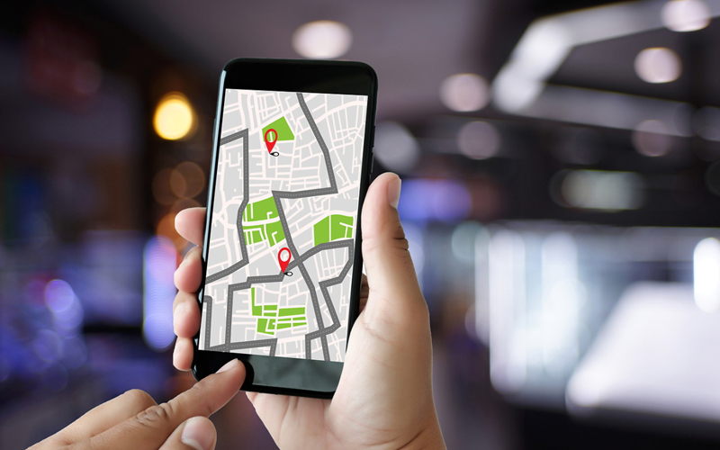
Geospatial engineering is a critical enabler in creating sustainable urban ecosystems. At the core of this concept are Geographic Information System (GIS) services that provide the spatial intelligence needed to design, operate, and continuously optimise complex urban ecosystems. Imagine a smart city that dynamically adjusts traffic to prevent congestion, predicts utility issues to avoid disruptions, and simulates future climate scenarios for better planning.
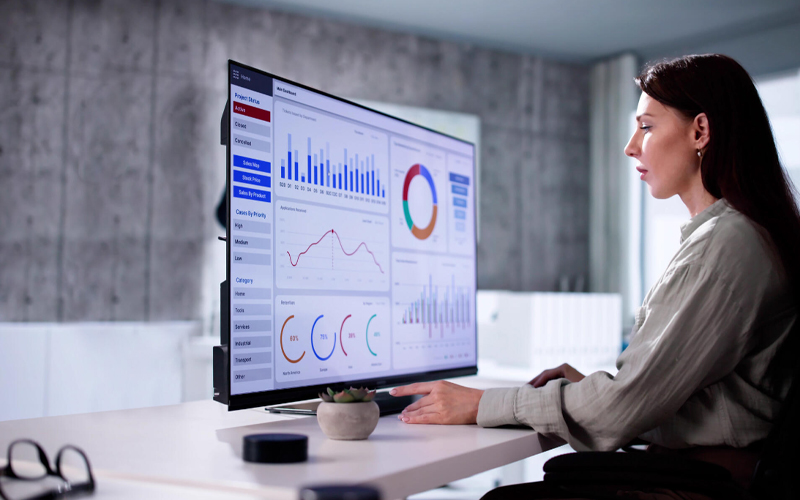
This emerging reality is made possible with advanced GIS services that combine data science, digital twins, and AI-powered analytics with real-time geospatial data. It brings together disconnected datasets from Internet of Things (IoT) sensors, people, and various urban services into a unified spatial framework to enable holistic visibility into planning, implementing, and managing smart cities. Let’s see how.
Infrastructure management
A city’s infrastructure must be resilient enough to withstand and recover from future disruptions. To ensure this, feasibility studies combine LiDAR data with satellite imagery and spatial analytics to arrive at precise elevation and context. Planners can better assess risks by visualising possible failures, make better site selection and alignment design, and even save on construction costs.
Transportation management
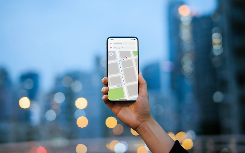
Geospatial tools connect data from traffic cameras, GPS devices, and field maps to understand people and transport movement. Analysing these datasets helps urban planners build optimised routes or tweak existing ones to reduce congestion and enable better use of public transport. These tools can also model scenarios for future transit hubs and enhance last-mile connectivity planning to ensure equity. These future-ready systems support initiatives such as autonomous vehicles and AI-assisted navigation to aid sustainable transportation.
Land administration
Optimal use of land through better land surveys and administration is a core part of urban governance. Geospatial tools significantly enhance processes in land surveys, assessing land ownership documents, boundary demarcations, and property valuation. Geospatial engineering applies a data-driven approach to balance residential, community, and commercial spaces to make them sustainable for the future.
Disaster and risk management
Geospatial engineering provides a framework for robust disaster risk detection and emergency response planning for unforeseen events such as floods, earthquakes, cyclones, landslides, or accidents. It supports vulnerability and hazard analysis to enable adequate emergency response for disaster resilience, including early warning systems.
Environmental management
Using geospatial tools, urban planners can extensively analyse many environmental parameters such as air quality, land use, and water purity. These tools can also help analyse the depletion of natural resources and the environmental impact more accurately to plan for optimal resource use, reduce pollution, and enable sustainable management.
The administration can detect and respond to issues such as shoreline erosion and vegetation loss, while planning better for future risks of sea-level rise and designing for adaptive mangroves and dune restoration. In fact, the International Telecommunication Union (ITU) is working actively with the UN to accelerate progress of the Sustainable Development Goals (SDGs) by leveraging digital technologies.
Geospatial engineering is no longer just a tool for mapping the physical world. It is becoming an intelligence layer that helps cities understand, predict, and respond to change. The smart cities of tomorrow will be defined by how they use geospatial technologies to create people-centric, sustainable, and resilient urban spaces.
Building these people-centric, sustainable, and resilient urban spaces requires more than just technology; it requires an expert partner to manage the complex data lifecycle. This is where Infosys BPM bridges the gap.
How Infosys BPM can help
Infosys BPM’sgeospatial data services offer a range of consulting services, including GIS services, spatial data management and analysis, application support and maintenance, and project/program management. These services span the full geospatial lifecycle and help users turn complex spatial data into actionable intelligence that drives operational decisions.
Frequently asked questions
Geospatial engineering provides the spatial intelligence needed to design and optimise complex urban systems, from traffic management to disaster response. Enterprises typically observe that fusing LiDAR data with satellite imagery allows planners to assess risks and simulate climate scenarios for more resilient infrastructure development.
GIS services connect data from traffic cameras and GPS devices to model transit scenarios and optimise routes for public transport and autonomous vehicles. Industry benchmarks show that real-time geospatial frameworks enable cities to dynamically adjust traffic flow, reducing emissions and improving the equity of last-mile connectivity.
Geospatial tools enhance property valuation, boundary demarcation, and the monitoring of environmental parameters like air quality and water purity. By applying a data-driven approach to land use, urban planners can balance residential and commercial spaces while accurately tracking natural resource depletion and environmental impact.
Geospatial engineering supports hazard analysis and early warning systems for events such as floods, earthquakes, and landslides. This intelligence layer allows urban administrators to understand, predict, and respond to changes in the physical environment, ensuring faster and more effective emergency coordination during unforeseen disruptions.