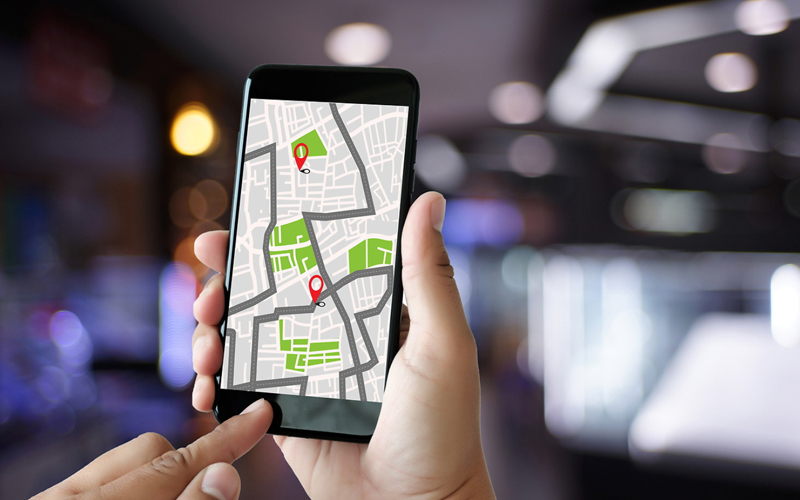



Imagine you are at a certain location. You have access to a map of the area, and the map shows you more than just the streets and main landmarks. It gives you specific information and facts—like weather patterns and demographics—about every spot on the map. This information is known as geospatial data.
Geospatial analytics uses this data and looks for patterns in that information. It then uses these patterns to predict behavior based on geography. Geospatial analytics has become a game changer in many sectors and has transformed decision-making in these sectors.
So, how does geospatial analytics help with decision-making? Here are some of its core applications in logistics, public policy, and retail.
Logistics and supply chain
If logistics firms could get information on the shortest, fastest, and most fuel-efficient route to a particular destination, it would be hugely beneficial to them. These firms use geospatial data to enhance route planning since they have access to real-time traffic data and historical traffic patterns. Drivers can therefore avoid areas that are congested and stay on the most efficient paths for the quickest possible deliveries. Analytics can also work out the order of stops for a driver carrying multiple deliveries, balancing each destination against travel time and fuel consumption.
United Parcel Service (UPS) uses a system called ORION (On-Road Integrated Optimization and Navigation). Before ORION, drivers travelled on routes they had memorized over the years or planned each morning. The ORION software pulls in package data, delivery time windows, road networks, and historical information about past routes and their performance. It then works out the best sequence of stops for that day. For a single route it weighs over 200,000 possible orderings.
Geospatial government services
Geospatial data and analytics help government agencies leverage the data from satellite imagery, Internet of Things (IoT) sensors and historical records. Predictive modelling capabilities help in anticipating growth patterns and community needs. This helps government agencies make informed public policy decisions, thereby enabling urban planning to keep pace with the population and to allocate available resources in an efficient manner. Disaster management is also more effective with the easy identification of flood zones and wildfires as well as deployment of emergency relief resources. Since all the information—historical and current—is on the cloud, policymakers can make data-driven decisions in real-time as per evolving needs.
Retail
For retailers, the location of their stores is critical for success. Opening stores in the wrong location could prove to be a costly mistake. Rather than relying on intuition, retailers who depend on concrete data to help make decisions regarding the possible location of their stores are likely to see better chances of success. This data comes in the form of geospatial data, which helps retailers understand the demographics, traffic areas, competitive presence, foot traffic, customer profiles and density, enabling them to make better real estate decisions and more relevant expansion strategies.
A 2025 study on Starbucks' Shanghai market published in the peer-reviewed ISPRS International Journal of Geo-Information offers insight into how geospatial analytics is transforming the retail expansion strategy. Researchers studied over 1,000 Starbucks and 1,000 Luckin Coffee (a large Chinese coffee chain) store locations across Shanghai. They split the city into a grid of 100-by-100-metre cells and collected data points regarding each cell, such as population density, transportation access, competitor proximity, points of interest and urban zoning patterns. Using a machine-learning (ML) model, the study predicted the best locations for stores with high accuracy – 92.2% for Starbucks and 90% for Luckin Coffee. Location matters more than most people assume. Starbucks clusters in dense, expensive commercial strips, the kind of spot where the brand and the atmosphere account for half the sale. Luckin goes the other way: spread across crowded residential neighborhoods, it bets on speed and proximity instead of ambience.
Companies are sitting on more location data than they know what to do with, and geospatial analytics is how they actually use it. A logistics company routes deliveries around traffic instead of guessing. A city planner spots which neighborhoods flood first and builds around that. A retailer picks its next store location based on foot traffic patterns instead of gut feel.
How can Infosys BPM help?
Infosys BPM offers Geospatial Data Services that enable enterprises to turn complex spatial data into better-informed operational decisions. Infosys BPM’s GIS framework is ready to deploy on live projects and handle routine loads across provisioning, outage response, field and fleet operations, disaster recovery and data quality, and it holds up when volume spikes without warning. For the teams running these operations, that means knowing the location of every asset. This enables field crews and network engineers to work from the current map and respond fast during outages or demand spikes.